
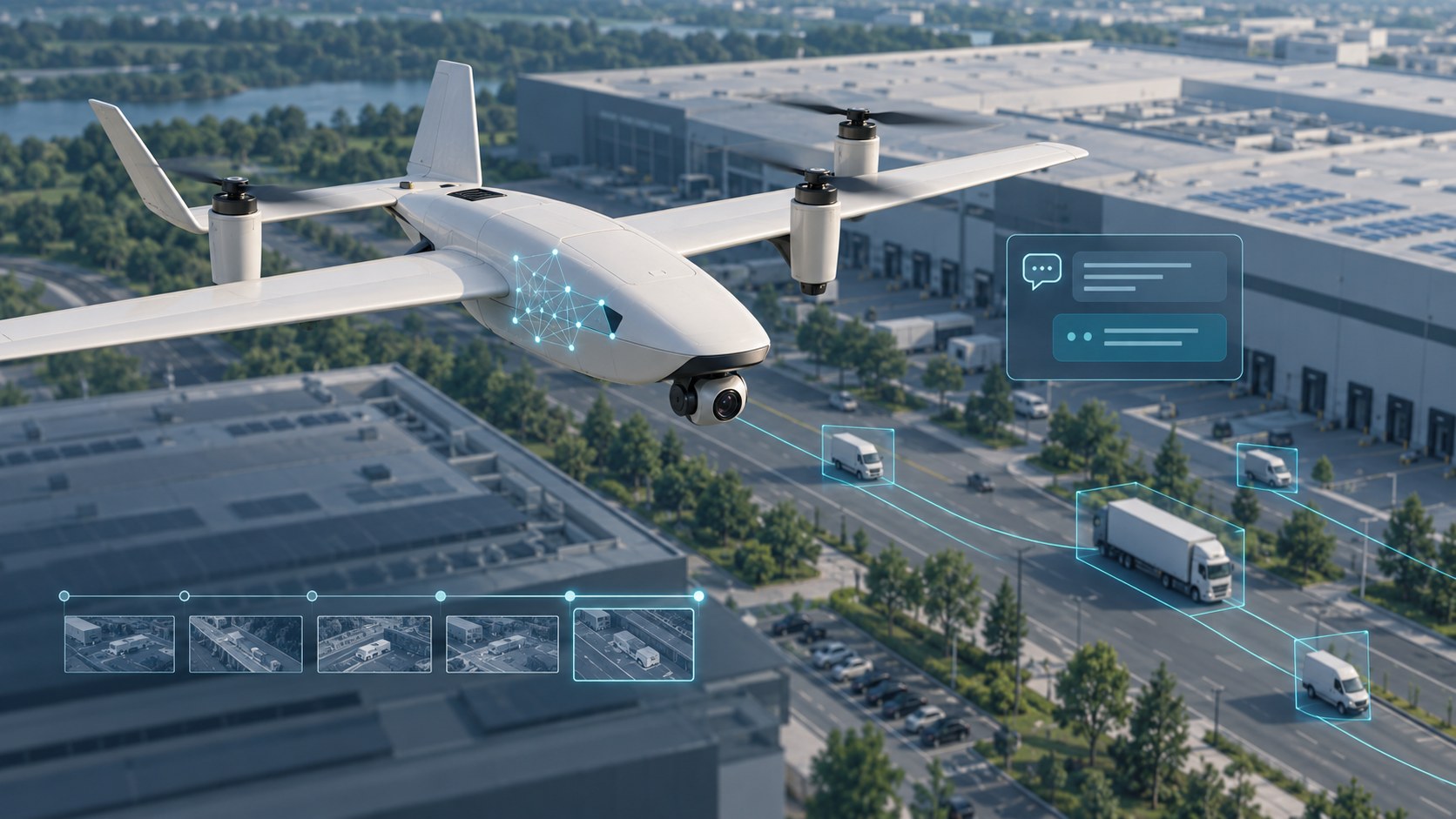
AI-generated concept illustration of onboard AI mission assistance.
An AI mission assistant for a surveillance UAV connects sensor observations, flight telemetry and mission context so an operator can ask useful questions about recorded events. Its value comes from organizing evidence: what was observed, when it happened, how an object moved and which information supports a response.
For UHUAV, this approach brings together onboard computing, configurable payloads and operator-led missions. This article explains an architecture for AI drone surveillance: a searchable mission record that can support questions, contextual suggestions and aircraft-status advisories. The workflows below describe configuration options for this architecture, shaped by the sensors, software, computing resources and mission requirements.
How does an AI surveillance UAV mission assistant work?
An AI surveillance UAV can carry cameras and other data-collection systems alongside an onboard computer. A mission-assistant architecture brings these inputs together in four steps:
- Collect: receive video observations, available payload measurements, aircraft telemetry and the selected mission objectives.
- Record: attach timestamps and relevant context to observations, such as an object track, a sensor reading or an aircraft warning.
- Retrieve: find records relevant to an operator's question or a configured mission condition.
- Explain: present an answer or advisory with supporting records and any important uncertainty.
The records form a searchable mission history. They may include structured observations and links to images or video, rather than copying every sensor sample into a language model. Storing new observations also does not mean the AI model continually retrains itself: record collection, retrieval and model training are separate operations.
What can vehicle observations tell an operator?
Consider an industrial-site inspection in which a camera observes vehicles along access roads. At configured intervals, a vision system can record detected vehicles, associate observations into tracks and retain relevant visual attributes and motion estimates. The resulting history covers detected observations within the camera's field of view; visibility, object size, occlusion and the detection system limit coverage.
| Record | Useful context |
|---|---|
| Observation time | When an observation was captured and whether it is still current. |
| Track and appearance | A temporary track reference and visible attributes, such as a broad vehicle category. |
| Motion estimate | Movement across successive observations, with gaps or uncertainty identified. |
| Location and evidence | Available position estimates linked to images, video or sensor records. |
An object's position in an image is not automatically its geographic location. Ground-position estimates require suitable inputs, which can include aircraft position and attitude, camera calibration, gimbal orientation, and range or terrain information. If those inputs are insufficient, the assistant should describe image-relative observations rather than invent map coordinates.
Likewise, visible appearance is not verified identity. A track can be interrupted, split or incorrectly associated. Questions about the same vehicle across separate periods therefore need evidence and an explicit treatment of tracking uncertainty.
Three illustrative operator questions
These illustrative exchanges show how questions, supporting records and operator decisions can connect in a configured mission workflow.
1. “Show the vehicles recorded during the last inspection segment.”
Example response: “Here are the recorded vehicle observations for that segment, grouped by track, with their observation times and linked images. Records without reliable geographic location are marked accordingly.”
This workflow helps the operator review a selected period without searching through an entire recording. A useful result preserves the distinction between a detected object, an estimated track and an independently confirmed event.
2. “Which recorded vehicles moved toward the restricted access road?”
Example response: “I can compare the recorded tracks with the defined access-road area. Where ground-position estimates are available, I can show the supporting movement sequence. Image-only tracks need visual review before geographic direction is confirmed.”
The area must be defined, and observations must support the requested comparison. Missing coverage should remain visible in the answer.
3. “Why are you recommending another inspection pass?”
Example response: “The mission objective requires review of this area, but the available observations leave a coverage gap. Here are the relevant records for your review before deciding whether another pass is appropriate.”
Any proposed follow-up still needs the operator's assessment of aircraft status, operating constraints and mission priorities.
How mission objectives shape guidance
Useful guidance starts with an explicit objective. An infrastructure inspection, a site-perimeter survey and a search-and-rescue observation task require different evidence and priorities. The assistant can be configured to relate observations to those objectives instead of producing generic suggestions.
Possible functions include highlighting incomplete coverage, prioritizing events that match defined rules, comparing observations across a selected period and preparing a mission summary with links to supporting imagery. An operator might request a chronological review, a list of observations requiring attention or an explanation of why an event was prioritized.
These functions complement operator-defined UAV missions. Information retrieval, recommendations and flight-command execution are distinct functions. Any command integration needs clearly defined permissions and operator-control rules.
Aircraft-status advisories and mission reliability
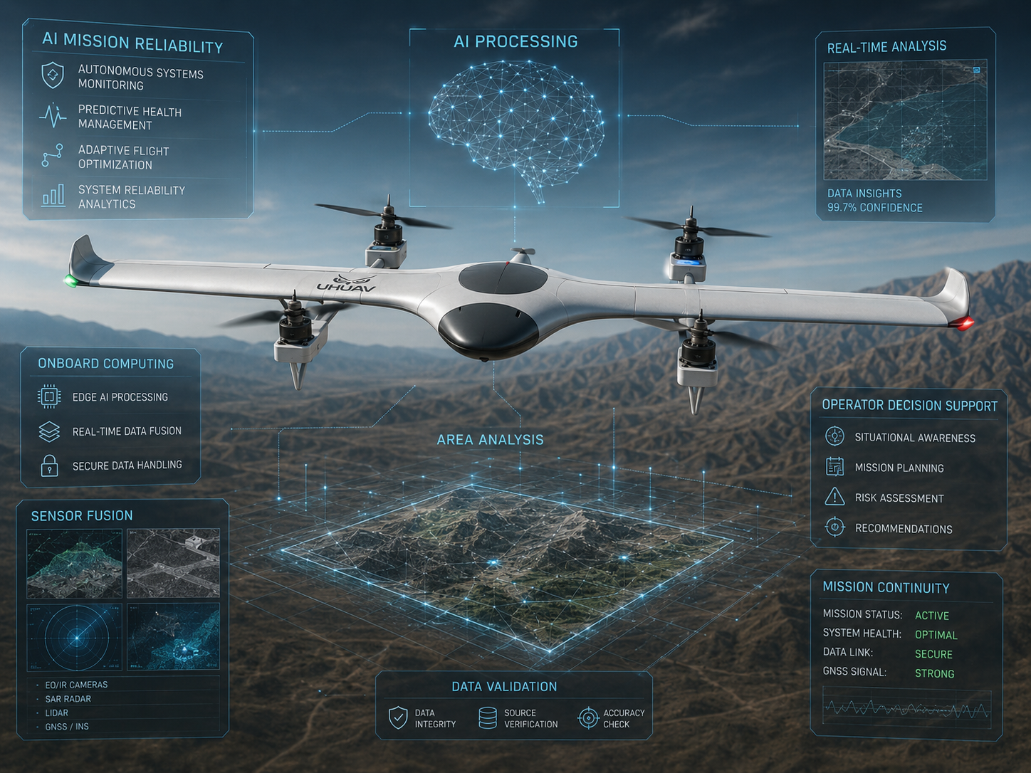
A mission assistant can also use available telemetry and warning messages to help explain conditions affecting the UAV itself. Configurable advisories might concern reduced battery reserve, deteriorating communications, unavailable sensor inputs or a mismatch between the requested task and current data quality.
An advisory should identify its source, observation time and relevance. It should distinguish a warning reported by the flight controller from an interpretation produced by an AI model. Stale or missing telemetry cannot support a confident statement about present aircraft condition.
The flight controller's established protections and the operator's judgment remain central. This architecture complements the broader discussion of AI-powered mission reliability for surveillance UAVs.
Can the assistant work offline?
Offline operation is possible for functions supported by the models, software and mission data available onboard. Optional online services can extend the workflow when connectivity and the deployment's data-handling requirements permit.
| Mode | Configuration considerations |
|---|---|
| Offline onboard processing | Local models, storage, computing capacity, power and thermal management determine supported functions. |
| Optional connected processing | Link quality, response delay, permitted data transfer and remote-service availability affect operation. |
A deployment should define what remains available when connectivity disappears. Online and offline modes should not be assumed to provide identical responses or processing capacity.
Connecting AI assistance with VTOL and payload integration
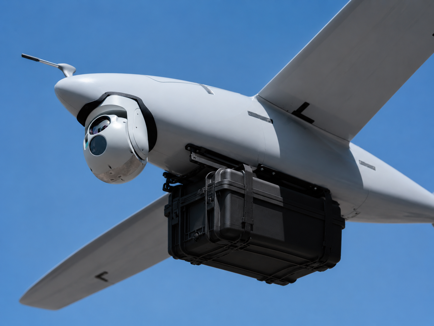
For a VTOL surveillance drone, assistant design belongs alongside aircraft and payload engineering. Teams evaluating a commercial-grade VTOL security UAV should consider the quality of recorded evidence and operator interaction alongside the airframe specification. Camera selection, field of view, timestamp alignment, vibration, power supply, cooling and storage affect the evidence available to the software.
Explore UHUAV's VTOL UAV platform and drone payload integration approach for the wider system context. Effective UAV surveillance systems require the sensing, recording and operator-interface layers to work together.
Define the questions your mission needs answered
Start with the decisions an operator must make, then identify the records needed to support them. Useful evaluation questions include whether an answer points to its evidence, acknowledges incomplete coverage and remains clear when data is old or unavailable.
Discuss your surveillance UAV requirements with UHUAV. Share your mission objective, expected observations, payload requirements, onboard computing constraints and connectivity conditions, together with a few questions your operators need answered. These details provide a practical basis for defining an appropriate AI mission-assistant configuration.
0 Comments
Add a comment